
Pound topographic map
Interactive map
Click on the map to display elevation.
About this map
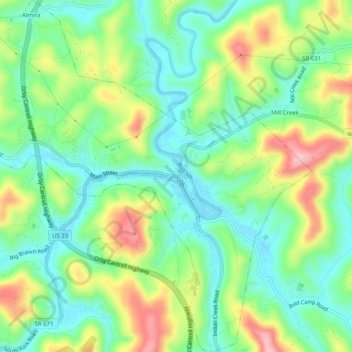
Name: Pound topographic map, elevation, terrain.
Location: Pound, Wise County, Virginia, United States of America (37.10356 -82.63124 37.14376 -82.58168)
Average elevation: 530 m
Minimum elevation: 470 m
Maximum elevation: 638 m