
Tshiamala topographic map
Interactive map
Click on the map to display elevation.
About this map
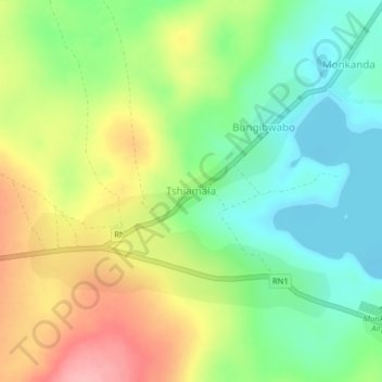
Name: Tshiamala topographic map, elevation, terrain.
Location: Tshiamala, Lulua, Central Kasai, DR Congo (-5.76738 23.01460 -5.72738 23.05460)
Average elevation: 670 m
Minimum elevation: 618 m
Maximum elevation: 743 m