
Collet topographic map
Interactive map
Click on the map to display elevation.
About this map
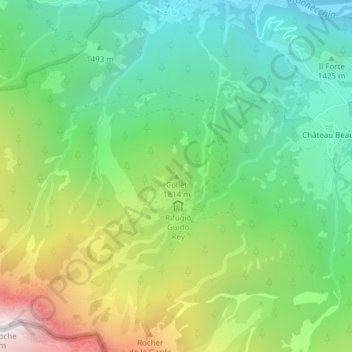
Name: Collet topographic map, elevation, terrain.
Location: Collet, Oulx, Turín, Piamonte, Italia (45.02954 6.75597 45.02964 6.75607)
Average elevation: 1,679 m
Minimum elevation: 1,124 m
Maximum elevation: 2,729 m