
Tanır topographic map
Interactive map
Click on the map to display elevation.
About this map
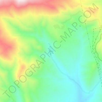
Name: Tanır topographic map, elevation, terrain.
Location: Tanır, Hınıs, Erzurum, Eastern Anatolia Region, Turkey (39.47254 41.64975 39.51254 41.68975)
Average elevation: 2,030 m
Minimum elevation: 1,795 m
Maximum elevation: 2,431 m