
Birjand topographic map
Interactive map
Click on the map to display elevation.
About this map
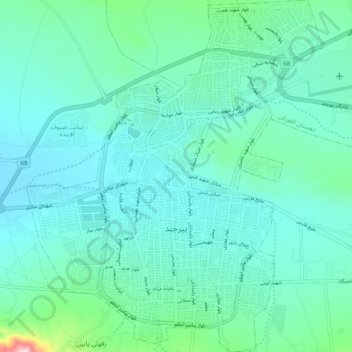
Name: Birjand topographic map, elevation, terrain.
Average elevation: 1,499 m
Minimum elevation: 1,431 m
Maximum elevation: 1,884 m
Other topographic maps
Click on a map to view its topography, its elevation and its terrain.
Abbasabad
Iran > South Khorasan Province > Birjand County > دهستان کاهشنگ > Qaleh Kuh > Abbasabad
Average elevation: 2,137 m