
Schore topographic map
Interactive map
Click on the map to display elevation.
About this map
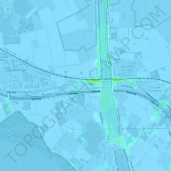
Name: Schore topographic map, elevation, terrain.
Location: Schore, Kapelle, Seeland, Niederlande (51.44980 3.97538 51.48650 4.00732)
Average elevation: -1 m
Minimum elevation: -6 m
Maximum elevation: 8 m