
Planebruch topographic map
Interactive map
Click on the map to display elevation.
About this map
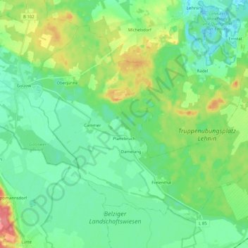
Name: Planebruch topographic map, elevation, terrain.
Average elevation: 51 m
Minimum elevation: 30 m
Maximum elevation: 104 m
Other topographic maps
Click on a map to view its topography, its elevation and its terrain.
Cammer
Deutschland > Brandenburg > Planebruch
Cammer, Planebruch, Brück, Potsdam-Mittelmark, Brandenburg, Deutschland
Average elevation: 52 m