
Dande topographic map
Interactive map
Click on the map to display elevation.
About this map
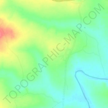
Name: Dande topographic map, elevation, terrain.
Location: Dande, Kunai, Chikun, Kaduna, Nigéria (10.56333 7.18000 10.60333 7.22000)
Average elevation: 591 m
Minimum elevation: 566 m
Maximum elevation: 632 m