
Tunxi District topographic map
Interactive map
Click on the map to display elevation.
About this map
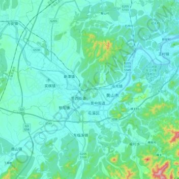
Name: Tunxi District topographic map, elevation, terrain.
Location: Tunxi District, Huangshan, Anhui, 245000, China (29.65723 118.18675 29.83767 118.40177)
Average elevation: 157 m
Minimum elevation: 107 m
Maximum elevation: 479 m
Other topographic maps
Click on a map to view its topography, its elevation and its terrain.