
Hula topographic map
Interactive map
Click on the map to display elevation.
About this map
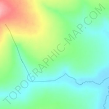
Name: Hula topographic map, elevation, terrain.
Location: Hula, Huambo, Angola (-12.14804 15.29013 -12.13249 15.31882)
Average elevation: 1,448 m
Minimum elevation: 1,404 m
Maximum elevation: 1,524 m
Other topographic maps
Click on a map to view its topography, its elevation and its terrain.