
Lesgrèzes topographic map
Interactive map
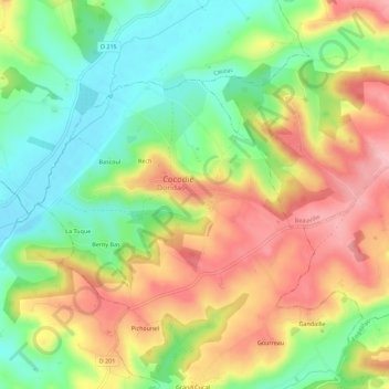
Click on the map to display elevation.
About this map
Name: Lesgrèzes topographic map, elevation, terrain.
Average elevation: 143 m
Minimum elevation: 73 m
Maximum elevation: 222 m
Other topographic maps
Click on a map to view its topography, its elevation and its terrain.
Gandaille
France > Nouvelle-Aquitaine > Lot-et-Garonne > Dondas
Gandaille, Dondas, Agen, Lot-et-Garonne, Nouvelle-Aquitaine, France métropolitaine, 47470, France
Average elevation: 168 m