
West Branch topographic map
Interactive map
Click on the map to display elevation.
About this map
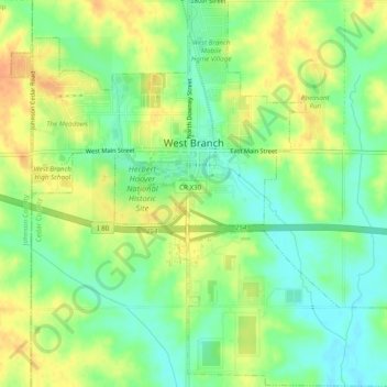
Name: West Branch topographic map, elevation, terrain.
Location: West Branch, Cedar County, Iowa, États-Unis d'Amérique (41.64927 -91.36892 41.68544 -91.32042)
Average elevation: 228 m
Minimum elevation: 210 m
Maximum elevation: 246 m