
Windermere Lake topographic map
Click on the map to display elevation.
About this map
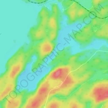
Name: Windermere Lake topographic map, elevation, terrain.
Average elevation: 422 m
Minimum elevation: 392 m
Maximum elevation: 472 m
Other topographic maps
Click on a map to view its topography, its elevation and its terrain.
Windigo Lake
Canada > Ontario > Kenora District > Unorganized Kenora District
Average elevation: 346 m
Little Sagamu River
Canada > Ontario > Kenora District > Unorganized Kenora District
Average elevation: 7 m