
Nghi Sơn Town topographic map
Interactive map
Click on the map to display elevation.
About this map
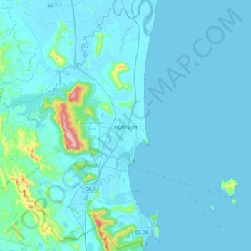
Name: Nghi Sơn Town topographic map, elevation, terrain.
Location: Nghi Sơn Town, Thanh Hoa, Vietnam (19.28722 105.62915 19.61754 105.93819)
Average elevation: 33 m
Minimum elevation: -2 m
Maximum elevation: 529 m