
Lake Windermere topographic map
Interactive map
Click on the map to display elevation.
About this map
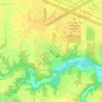
Name: Lake Windermere topographic map, elevation, terrain.
Location: Lake Windermere, Coles County, Illinois, United States (39.46586 -88.28670 39.46928 -88.28341)
Average elevation: 213 m
Minimum elevation: 194 m
Maximum elevation: 221 m
Other topographic maps
Click on a map to view its topography, its elevation and its terrain.
Ashmore
United States > Illinois > Coles County
Ashmore, Coles County, Illinois, United States
Average elevation: 211 m
Charleston
United States > Illinois > Coles County
Charleston, Coles County, Illinois, 61920, United States
Average elevation: 205 m