
Cherhill topographic map
Interactive map
Click on the map to display elevation.
About this map
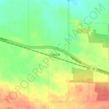
Name: Cherhill topographic map, elevation, terrain.
Location: Cherhill, Division No. 13, Alberta, Canada (53.80009 -114.69999 53.84009 -114.65999)
Average elevation: 727 m
Minimum elevation: 704 m
Maximum elevation: 753 m
Other topographic maps
Click on a map to view its topography, its elevation and its terrain.
Highridge
Canada > Alberta > Division No. 13
Highridge, Division No. 13, Alberta, Canada
Average elevation: 699 m