Wieslehen topographic map
Interactive map
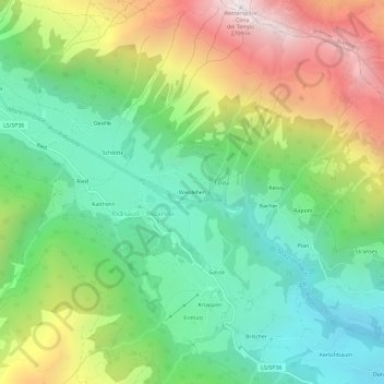
Click on the map to display elevation.
About this map
Name: Wieslehen topographic map, elevation, terrain.
Average elevation: 1,669 m
Minimum elevation: 1,079 m
Maximum elevation: 2,681 m

Click on the map to display elevation.
Name: Wieslehen topographic map, elevation, terrain.
Average elevation: 1,669 m
Minimum elevation: 1,079 m
Maximum elevation: 2,681 m