
Tlacotepec topographic map
Interactive map
Click on the map to display elevation.
About this map
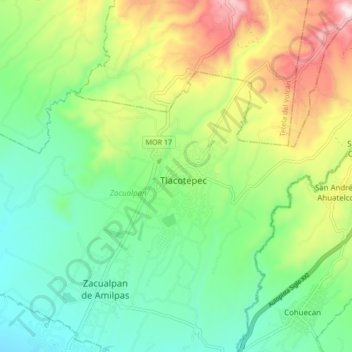
Name: Tlacotepec topographic map, elevation, terrain.
Location: Tlacotepec, Zacualpan, Morelos, México (18.77389 -98.79103 18.85389 -98.71103)
Average elevation: 1,764 m
Minimum elevation: 1,565 m
Maximum elevation: 2,149 m