
Gemünden topographic map
Interactive map
Click on the map to display elevation.
About this map
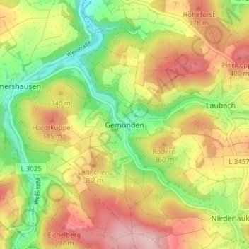
Name: Gemünden topographic map, elevation, terrain.
Location: Gemünden, Weilrod, Hochtaunuskreis, Hessen, 61276, Deutschland (50.33912 8.38475 50.37912 8.42475)
Average elevation: 321 m
Minimum elevation: 216 m
Maximum elevation: 428 m