
Prasat Bakong District topographic map
Interactive map
Click on the map to display elevation.
About this map
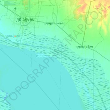
Name: Prasat Bakong District topographic map, elevation, terrain.
Location: Prasat Bakong District, Siem Reap, Cambodia (12.95451 103.88580 13.44856 104.07673)
Average elevation: 13 m
Minimum elevation: 2 m
Maximum elevation: 136 m
Other topographic maps
Click on a map to view its topography, its elevation and its terrain.