
Saradka topographic map
Interactive map
Click on the map to display elevation.
About this map
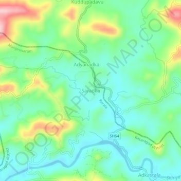
Name: Saradka topographic map, elevation, terrain.
Average elevation: 98 m
Minimum elevation: 36 m
Maximum elevation: 240 m
Other topographic maps
Click on a map to view its topography, its elevation and its terrain.
Bejja
India > Kerala > Manjeswaram > Kuloor
Bejja, Kuloor, Manjeswaram, Kasaragod district, Kerala, India
Average elevation: 45 m