
Sa Đéc City topographic map
Interactive map
Click on the map to display elevation.
About this map
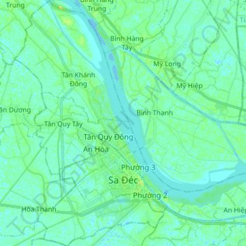
Name: Sa Đéc City topographic map, elevation, terrain.
Location: Sa Đéc City, Dong Thap Province, 81800, Vietnam (10.26133 105.70388 10.38660 105.78342)
Average elevation: 4 m
Minimum elevation: -2 m
Maximum elevation: 11 m
Other topographic maps
Click on a map to view its topography, its elevation and its terrain.
Bình Thành
Vietnam > Dong Thap Province > Xã Bình Thành
Bình Thành, Xã Bình Thành, Thanh Bình District, Dong Thap Province, Vietnam
Average elevation: 4 m
Xã An Phong
Xã An Phong, Thanh Bình District, Dong Thap Province, Vietnam
Average elevation: 3 m
Tân Dương
Vietnam > Dong Thap Province > Tân Dương
Tân Dương, Lai Vung district, Dong Thap Province, Vietnam
Average elevation: 4 m
Tan Thanh
Vietnam > Dong Thap Province > Tan Thanh
Tan Thanh, Lai Vung district, Dong Thap Province, 872890, Vietnam
Average elevation: 5 m