
Fene topographic map
Interactive map
Click on the map to display elevation.
About this map
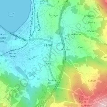
Name: Fene topographic map, elevation, terrain.
Location: Fene, Ferrol, A Corogne, Galice, Espagne (43.45878 -8.16931 43.48425 -8.14673)
Average elevation: 86 m
Minimum elevation: 0 m
Maximum elevation: 304 m