
Thank you for supporting this site ❤️
Make a donation
Make a donation
Gear up for your next adventure:
As an Amazon Associate, this site earns from qualifying purchases at no extra cost to you.
Arad topographic map
Click on the map to display elevation.
Thank you for supporting this site ❤️
Make a donation
Make a donation
Gear up for your next adventure:
As an Amazon Associate, this site earns from qualifying purchases at no extra cost to you.
About this map
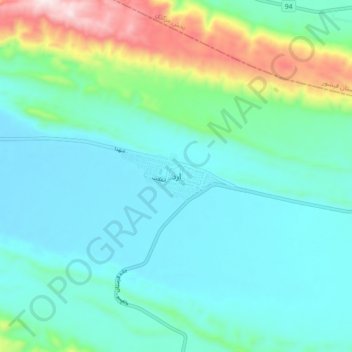
Name: Arad topographic map, elevation, terrain.
Location: Arad, دهستان ارد, بخش ارد, Gerash County, Fars Province, Iran (27.68933 53.58464 27.76933 53.66464)
Average elevation: 709 m
Minimum elevation: 589 m
Maximum elevation: 1,166 m
Thank you for supporting this site ❤️
Make a donation
Make a donation
Gear up for your next adventure:
As an Amazon Associate, this site earns from qualifying purchases at no extra cost to you.