
Changaleeri topographic map
Click on the map to display elevation.
About this map
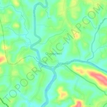
Name: Changaleeri topographic map, elevation, terrain.
Location: Changaleeri, Mannarkad, Palakkad, Kerala, 678583, India (10.93396 76.41430 10.97396 76.45430)
Average elevation: 71 m
Minimum elevation: 42 m
Maximum elevation: 132 m
Other topographic maps
Click on a map to view its topography, its elevation and its terrain.