
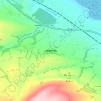
Innerwick topographic map
Interactive map
Click on the map to display elevation.
About this map
Name: Innerwick topographic map, elevation, terrain.
Location: Innerwick, East Lothian, Scotland, EH42 1SB, United Kingdom (55.93814 -2.46963 55.97814 -2.42963)
Average elevation: 102 m
Minimum elevation: 0 m
Maximum elevation: 319 m
East Lothian trails, hiking, mountain biking, running and outdoor activities
Other topographic maps
Click on a map to view its topography, its elevation and its terrain.