
Samrad topographic map
Interactive map
Click on the map to display elevation.
About this map
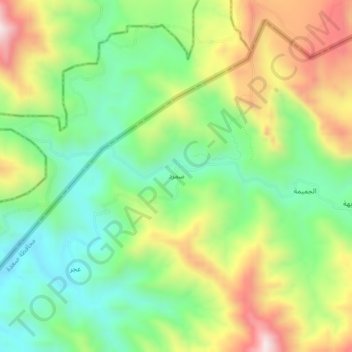
Name: Samrad topographic map, elevation, terrain.
Location: Samrad, Baqim district, Sa'dah Governorate, Yemen (17.49420 43.27419 17.53420 43.31419)
Average elevation: 1,633 m
Minimum elevation: 1,393 m
Maximum elevation: 1,999 m
Other topographic maps
Click on a map to view its topography, its elevation and its terrain.