Geolocate

Matlacha topographic map

Click on the map to display elevation.

About this map

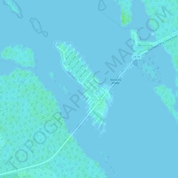
Name: Matlacha topographic map, elevation, terrain.

Location: Matlacha, Lee County, Florida, United States (26.62404 -82.07852 26.63881 -82.06813)

Average elevation: 1 m

Minimum elevation: -1 m

Maximum elevation: 8 m

Gear up for your next adventure:

🧰Survival Kits - Emergency tools for remote environments
📷Outdoor Action Cameras - Cameras designed for hiking and adventure
📚UK Hiking Guidebooks - Detailed route descriptions for the Lake District, Peaks, and Highlands
🔋Power Banks - Portable chargers for long outdoor trips
🥤Hiking Water Bottles - Reusable bottles for hydration on the trail

As an Amazon Associate, this site earns from qualifying purchases at no extra cost to you.