Geolocate

Sunny topographic map

Click on the map to display elevation.

About this map

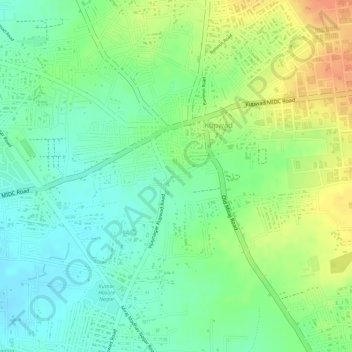
Name: Sunny topographic map, elevation, terrain.

Location: Sunny, Miraj, Sangli District, Maharashtra, India (16.86569 74.61829 16.86589 74.61836)

Average elevation: 578 m

Minimum elevation: 558 m

Maximum elevation: 602 m

Other topographic maps

Click on a map to view its topography, its elevation and its terrain.

Sangli

India > Maharashtra > Miraj

Average elevation: 574 m

Vijay Nagar

India > Maharashtra > Miraj

Average elevation: 561 m

Gear up for your next adventure:

🌄Compact Monoculars - Lightweight optics for hiking
🥤Hydration Bladders - Hands-free hydration systems for backpacks
🔥Emergency Fire Starters - Reliable ignition tools for survival situations in damp conditions
🍳Camping Stoves - Compact stoves for outdoor cooking
📱Rugged Phone Cases - Heavy-duty protection for smartphones used as secondary GPS tools

As an Amazon Associate, this site earns from qualifying purchases at no extra cost to you.