
Việt Trì topographic map
Interactive map
Click on the map to display elevation.
About this map
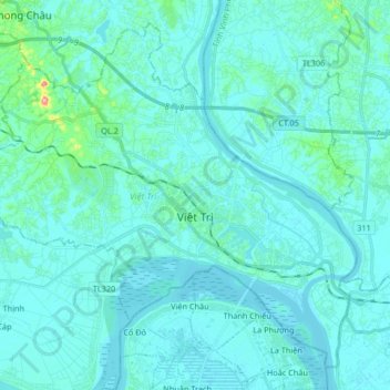
Name: Việt Trì topographic map, elevation, terrain.
Location: Việt Trì, Phú Thọ Province, Vietnam (21.26440 105.29205 21.40037 105.45682)
Average elevation: 20 m
Minimum elevation: 8 m
Maximum elevation: 145 m
Other topographic maps
Click on a map to view its topography, its elevation and its terrain.