
St. Mary Bourne topographic map
Interactive map
Click on the map to display elevation.
About this map
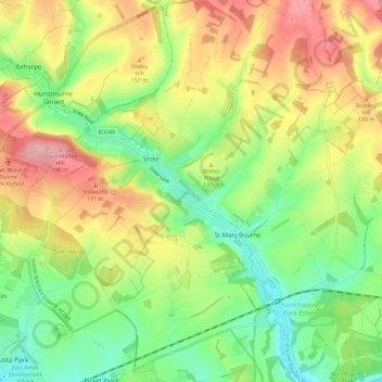
Name: St. Mary Bourne topographic map, elevation, terrain.
Average elevation: 125 m
Minimum elevation: 65 m
Maximum elevation: 201 m
Other topographic maps
Click on a map to view its topography, its elevation and its terrain.
Stoke
United Kingdom > England > Hampshire > Basingstoke and Deane > Stoke
Stoke, Basingstoke and Deane, Hampshire, South East England, England, SP11 0NW, United Kingdom
Average elevation: 128 m