
Shrewsbury topographic map
Interactive map
Click on the map to display elevation.
About this map
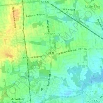
Name: Shrewsbury topographic map, elevation, terrain.
Location: Shrewsbury, Monmouth County, New Jersey, United States (40.31153 -74.07491 40.33827 -74.04065)
Average elevation: 11 m
Minimum elevation: -1 m
Maximum elevation: 26 m