
Thank you for supporting this site ❤️
Make a donation
Make a donation
Gear up for your next adventure:
As an Amazon Associate, this site earns from qualifying purchases at no extra cost to you.
Al Badi`ah topographic map
Click on the map to display elevation.
Thank you for supporting this site ❤️
Make a donation
Make a donation
Gear up for your next adventure:
As an Amazon Associate, this site earns from qualifying purchases at no extra cost to you.
About this map
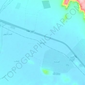
Name: Al Badi`ah topographic map, elevation, terrain.
Location: Al Badi`ah, Duruma, Riyadh Region, Saudi Arabia (24.45559 46.38463 24.49559 46.42463)
Average elevation: 625 m
Minimum elevation: 612 m
Maximum elevation: 828 m
Thank you for supporting this site ❤️
Make a donation
Make a donation
Gear up for your next adventure:
As an Amazon Associate, this site earns from qualifying purchases at no extra cost to you.