Geolocate

Elnora topographic map

Click on the map to display elevation.

About this map
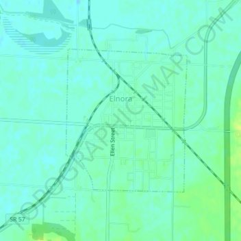
Name: Elnora topographic map, elevation, terrain.

Location: Elnora, Daviess County, Indiana, 47529, United States (38.86791 -87.09374 38.88395 -87.07630)

Average elevation: 147 m

Minimum elevation: 142 m

Maximum elevation: 157 m

Gear up for your next adventure:

🍳Camping Stoves - Compact stoves for outdoor cooking
🧢Waterproof Hiking Hats - Keep the rain off your face while studying topographic maps
🧦Hiking Socks - Breathable socks designed to prevent blisters on long walks
🧴Sport Sunscreen Sticks - High-protection sunblock that won't run into your eyes on the trail
🔋Power Banks - Portable chargers for long outdoor trips

As an Amazon Associate, this site earns from qualifying purchases at no extra cost to you.