
San Romolo topographic map
Interactive map
Click on the map to display elevation.
About this map
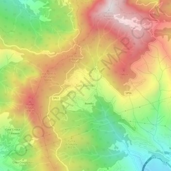
Name: San Romolo topographic map, elevation, terrain.
Location: San Romolo, Sanremo, Imperia, Ligurie, 18034, Italie (43.83587 7.70636 43.87587 7.74636)
Average elevation: 742 m
Minimum elevation: 189 m
Maximum elevation: 1,281 m
Other topographic maps
Click on a map to view its topography, its elevation and its terrain.