
Las Varas topographic map
Interactive map
Click on the map to display elevation.
About this map
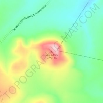
Name: Las Varas topographic map, elevation, terrain.
Location: Las Varas, Temósachic, Chihuahua, México (28.85254 -107.87686 28.85264 -107.87676)
Average elevation: 2,107 m
Minimum elevation: 2,020 m
Maximum elevation: 2,260 m
Other topographic maps
Click on a map to view its topography, its elevation and its terrain.
Las Minitas
México > Chihuahua > Temósachic
Las Minitas, Temósachic, Chihuahua, México
Average elevation: 2,093 m