
Sampford Peverell topographic map
Interactive map
Click on the map to display elevation.
About this map
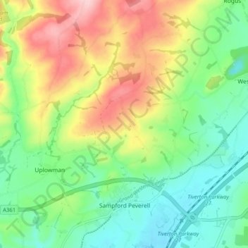
Name: Sampford Peverell topographic map, elevation, terrain.
Average elevation: 143 m
Minimum elevation: 70 m
Maximum elevation: 260 m
Devon trails, hiking, mountain biking, running and outdoor activities
Other topographic maps
Click on a map to view its topography, its elevation and its terrain.
Wordland Cross
United Kingdom > England > Devon > Mid Devon > Cheriton Fitzpaine
Average elevation: 120 m