
Burtonville topographic map
Interactive map
Click on the map to display elevation.
About this map
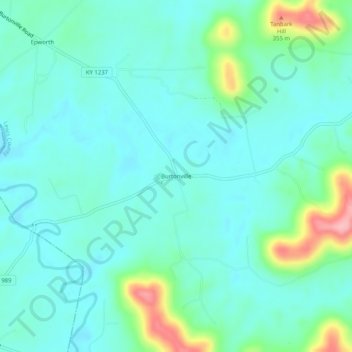
Name: Burtonville topographic map, elevation, terrain.
Location: Burtonville, Lewis County, Kentucky, United States (38.47591 -83.59325 38.51591 -83.55325)
Average elevation: 254 m
Minimum elevation: 226 m
Maximum elevation: 359 m
Other topographic maps
Click on a map to view its topography, its elevation and its terrain.