
Punin topographic map
Interactive map
Click on the map to display elevation.
About this map
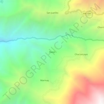
Name: Punin topographic map, elevation, terrain.
Location: Punin, Pamparomás, Huaylas, Áncash, Perú (-9.13084 -77.99942 -9.09084 -77.95942)
Average elevation: 2,953 m
Minimum elevation: 2,090 m
Maximum elevation: 4,309 m