
Achupalla topographic map
Interactive map
Click on the map to display elevation.
About this map
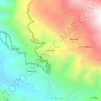
Name: Achupalla topographic map, elevation, terrain.
Location: Achupalla, Chugay, Sánchez Carrión, La Libertad, Perú (-7.83368 -77.89851 -7.79368 -77.85851)
Average elevation: 3,000 m
Minimum elevation: 2,410 m
Maximum elevation: 3,804 m