
Sidi Embarek topographic map
Interactive map
Click on the map to display elevation.
About this map
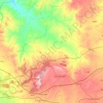
Name: Sidi Embarek topographic map, elevation, terrain.
Location: Sidi Embarek, Bir Kasd Ali District, Bordj Bou Arreridj, Algeria (36.02862 4.83492 36.20810 4.97037)
Average elevation: 959 m
Minimum elevation: 730 m
Maximum elevation: 1,180 m