
Takhemaret topographic map
Interactive map
Click on the map to display elevation.
About this map
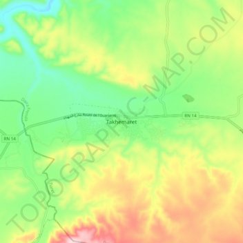
Name: Takhemaret topographic map, elevation, terrain.
Location: Takhemaret, Frenda District, Tiaret, 14015, Algeria (35.06729 0.64336 35.14729 0.72336)
Average elevation: 687 m
Minimum elevation: 567 m
Maximum elevation: 863 m