
Menzel El Abtal topographic map
Interactive map
Click on the map to display elevation.
About this map
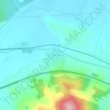
Name: Menzel El Abtal topographic map, elevation, terrain.
Location: Menzel El Abtal, Azzaba, Azzaba District, Skikda, 21066, Algeria (36.72051 7.13814 36.76051 7.17814)
Average elevation: 104 m
Minimum elevation: 55 m
Maximum elevation: 326 m