
Thank you for supporting this site ❤️
Make a donation
Make a donation
Gear up for your next adventure:
As an Amazon Associate, this site earns from qualifying purchases at no extra cost to you.
Tagliaretto topographic map
Click on the map to display elevation.
Thank you for supporting this site ❤️
Make a donation
Make a donation
Gear up for your next adventure:
As an Amazon Associate, this site earns from qualifying purchases at no extra cost to you.
About this map
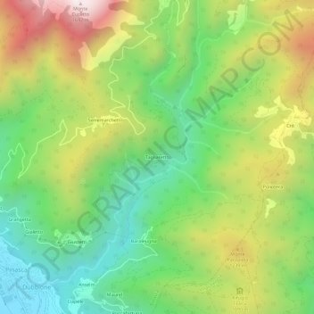
Name: Tagliaretto topographic map, elevation, terrain.
Location: Tagliaretto, Pinasca, Torino, Piemonte, 10069, Italia (44.93699 7.23449 44.97699 7.27449)
Average elevation: 993 m
Minimum elevation: 528 m
Maximum elevation: 1,683 m
Thank you for supporting this site ❤️
Make a donation
Make a donation
Gear up for your next adventure:
As an Amazon Associate, this site earns from qualifying purchases at no extra cost to you.