
Oberkorn topographic map
Interactive map
Click on the map to display elevation.
About this map
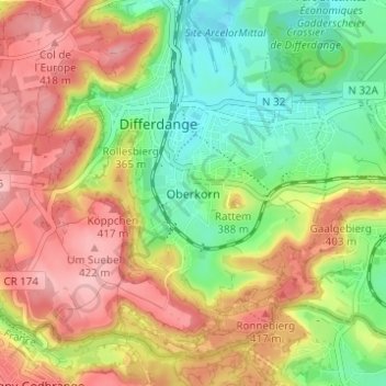
Name: Oberkorn topographic map, elevation, terrain.
Location: Oberkorn, Differdange, Canton Esch-sur-Alzette, 4649, Luxembourg (49.49359 5.87480 49.53359 5.91480)
Average elevation: 358 m
Minimum elevation: 292 m
Maximum elevation: 426 m