
Reckholdern topographic map
Interactive map
Click on the map to display elevation.
About this map
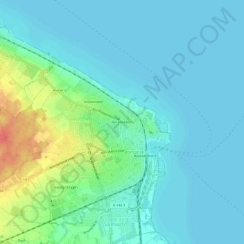
Name: Reckholdern topographic map, elevation, terrain.
Location: Reckholdern, Romanshorn, Bezirk Arbon, Thurgau, 8590, Schweiz (47.55035 9.35372 47.59035 9.39372)
Average elevation: 404 m
Minimum elevation: 392 m
Maximum elevation: 447 m