
Girchevtsi topographic map
Interactive map
Click on the map to display elevation.
About this map
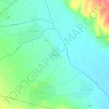
Name: Girchevtsi topographic map, elevation, terrain.
Location: Girchevtsi, Kyustendil, 2540, Bulgaria (42.27310 22.74720 42.31310 22.78720)
Average elevation: 471 m
Minimum elevation: 451 m
Maximum elevation: 528 m