
Wieringerwerf topographic map
Interactive map
Click on the map to display elevation.
About this map
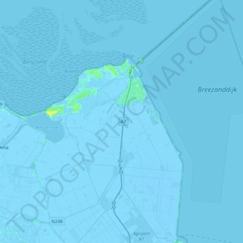
Name: Wieringerwerf topographic map, elevation, terrain.
Location: Wieringerwerf, Hollands Kroon, Nordholland, Niederlande (52.77331 5.00813 52.99368 5.21506)
Average elevation: -1 m
Minimum elevation: -8 m
Maximum elevation: 12 m