
Paroș topographic map
Interactive map
Click on the map to display elevation.
About this map
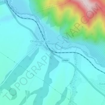
Name: Paroș topographic map, elevation, terrain.
Location: Paroș, Deva, Hunedoara, 337424, Romania (45.54295 22.99406 45.54387 22.99434)
Average elevation: 405 m
Minimum elevation: 319 m
Maximum elevation: 814 m
Other topographic maps
Click on a map to view its topography, its elevation and its terrain.