Geolocate

Bunde topographic map

Click on the map to display elevation.

About this map
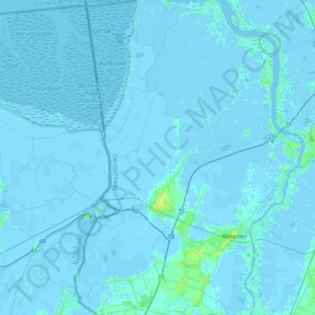
Name: Bunde topographic map, elevation, terrain.

Location: Bunde, Landkreis Leer, Lower Saxony, 26831, Germany (53.11286 7.17890 53.31835 7.32016)

Average elevation: 0 m

Minimum elevation: -6 m

Maximum elevation: 11 m

Gear up for your next adventure:

🧦Merino Wool Hiking Socks - Moisture-wicking socks to prevent blisters during long mountain walks
🥼Base Layers - Thermal base layers for temperature regulation
🕶️Polarized Sunglasses - Reduces glare from snow and water when reading terrain
🥾Hiking Boot Waterproofing Wax - Maintain the lifespan of your leather trekking boots
🗺️Ordnance Survey Maps - Official UK maps for walking and outdoor activities

As an Amazon Associate, this site earns from qualifying purchases at no extra cost to you.